Silver Peak Trail,
Snoqualmie Pass, Washington
August 12, 2018
Distance: 6 miles from the
head trail. We walked 10 miles from the
parking spot we got.
Time: 5 hours, 20 minutes.
Calories: 1,965.
Elevation Gain: 2,721.1 ft
Highest Point: 5,297.2 ft
Elevation Gain: 2,721.1 ft
Highest Point: 5,297.2 ft
Entrance Fee: We used our Discovery Pass /
America The Beauty Pass.
Difficulty: Medium
Today we wanted to do a day hike and gave the Silver Peak Trail a shot.

If you plan to do this hike, we would strongly suggest that you drive an SUV, as the potholes on the road make it nearly impossible to drive to the trailhead in a car that has low ground clearance. It will be a lot easier if you a have an SUV or Jeep. We decided to park on the side of the road about 2 miles away from the trailhead because this was our experience visiting this trail and we were not aware of the road conditions.


To reach the hike from I-90 take exit 54 towards Hyak Dr. E, and then merge into FR-9070 which will
eventually cross the Pacific Crest Trail on your
right. Look for the PCT sign carefully.
The silver peak trail is a
little hard to locate because there are no signs to mark the trailhead for this specific hike. As mentioned on WTA,
Silver Peak trail starts after walking nearly 2 miles(some reports we
read said 1.7 other 2.0 miles) on towards south on
PCT(Pacific Crest Trail).

The Pacific Crest Trail sign is barely visible.


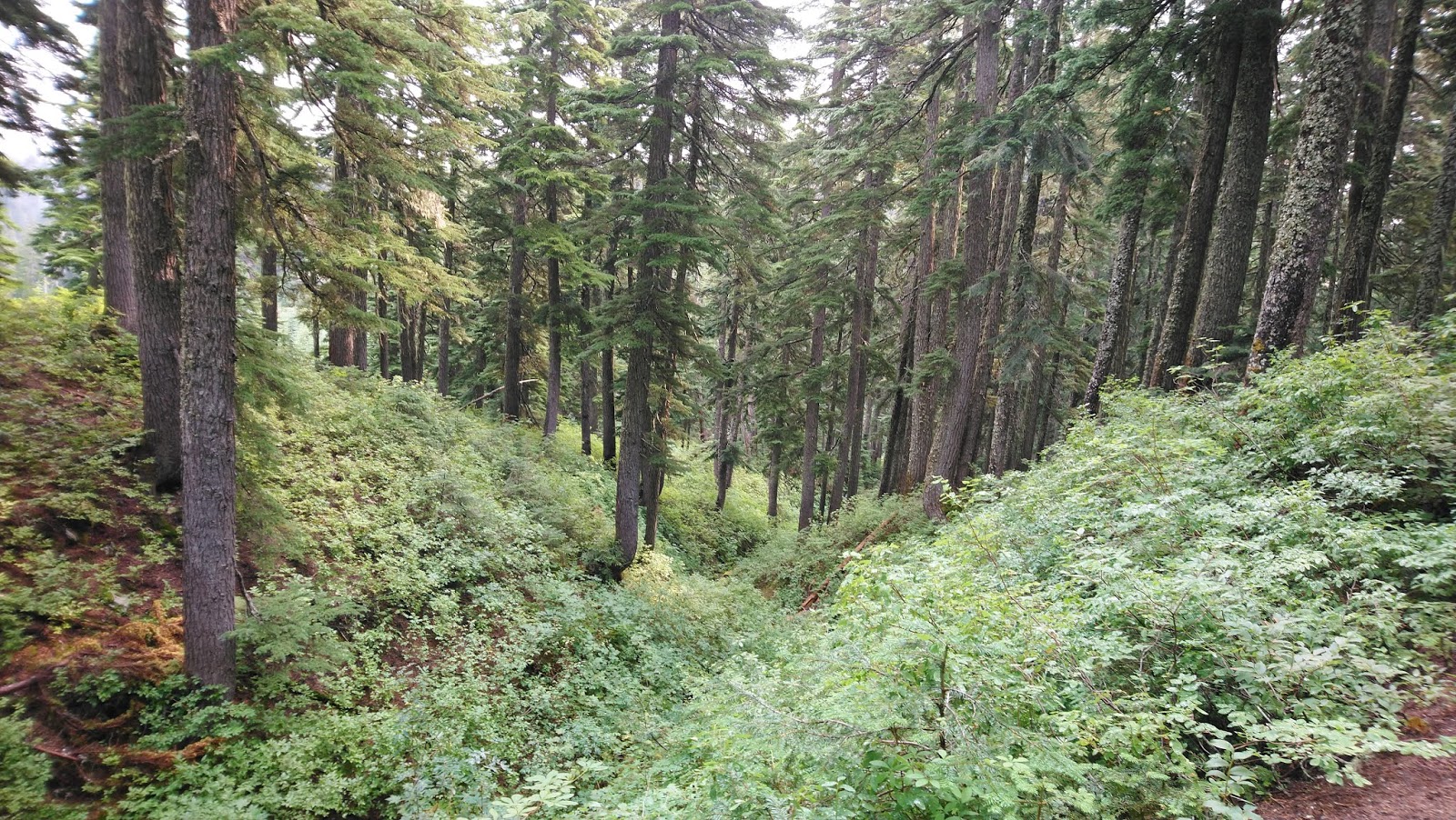
From the PCT to the
trailhead of Silver Peak Trail the hike is easy, it was heavily transited
during summer months and you will find hikers, hiking with dogs. You will have
good views of Silver Peak, fallen trees, water formations, a couple wooden
bridges, and at least during August, some almost dried up streams.


As mentioned before, about
1.9 miles after hiking the PCT towards the south,
pay attention to the Silver Peak trailhead towards
your right. There is no sign, and the only marking we saw was a cairn
with a fainted “Silver Peak” label.


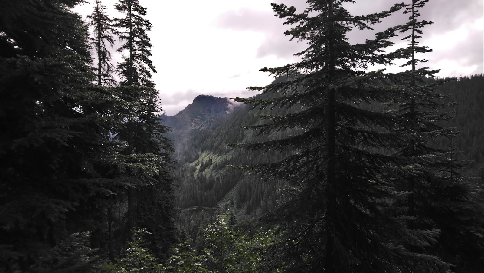
Th next 0.5 mile is steep
and a little slippery. At some points you
will have to “climb” your way up some rock formations. You will be able to see
Keechelus Lake (which had a low water level given the heat this year) and I-90
in the distance.


Once you reach Abiel Pass,
you will see a fork. You want to continue to the right side (Northwest) for
Silver Peak. The left goes towards Tinkham Peak.

Shortly after, you will your
destination. Notice that the last part of the trail is a steep path with loose
rocks. There is a clear path to follow, however, you are free to take any route you see fit. We decided to go a little
left to click a couple pictures of the Annette Lake. We do want to hike the
Annette Lake trail as we were told we might even try swimming there (not sure
about how cold it would be though).


On your way
back, be extra careful as it gets tricky with the loose rocks and at some point,
after Abiel Pass, it gets slippery when wet.


Tips
·
FR-9070 has many potholes, an SUV
will make your trip better.
·
There are plenty of mosquitos and bugs, wear repellent.
·
The trailheads are not easily viewable, make sure to bring a
compass, GPS, and make sure you pay attention to the rock cairn marking Silver
Peak Trailhead.
·
If you like to hike with dogs, this is a good trail for that.
We hope you enjoy your visit.
See you next time!