Olympic National Park -
Klahhane Ridge Trail
June 29, 2018
Distance: 13.73 miles
Time: 8 hours, 22 minutes.
Calories: 3,098.
Elevation Gain: 5,764.8 ft.
Difficulty: Strenuous.
Entrance Fee: We used our
America The Beauty Pass - $20 USD per
night for camping.
Welcome to the second part
of our hiking report for our first visit to the Olympic National Park, we
camped at the Heart
O’ The Hills campground and we first hiked Heart
of the Forest Trail.
This is a strenuous hike with a change in altitude of
almost 6,000 feet. You will have to gear up for, cold weather, snow, slippery
edges, low visibility, strong winds, and
loose rocks. Additionally, the trail has limited marking and the path might be
difficult to follow, especially when snow
is present. We strongly suggest that you feel comfortable with using a compass,
GPS, and either printing a copy of the
trail or taking a picture with your phone before you start.


There are a few options to
complete the trails, the trailheads are
located at the entrance of the campground, about 500 ft uphill from the ranger
station.

If you take the trailhead on the left, you will start the Lake Angel Trail (3.3
miles) and then Klahhane Ridge (2.8 miles).
If you take the trailhead on the right you will start the
Heather Park Trail (6.2 miles) at 4 miles you will reach Heather park (no
markings or signs) after 1.8 miles more
on the Heather Park Trail will take you to the Klahhane Ridge.
As you can see either path
will take you to Klahhane Ridge and our initial plan was to complete the loop.
We wanted to take the Heather Park Trail and then descend using the Lake Angel
Trail.


The day was cloudy and we
were told to expect some snow along the trail. We decided to dress in layered
clothing and started our hike. You will
gain constant elevation during the first couple miles, at this point, you will likely think, why did I choose
to wear a base layer?


It was a warm and humid atmosphere, which, combined with the strenuous trail seemed like having extra clothes looked like a mistake. It was not,
trust us.


One of the things I want to
point out is that these trails are not accurate on the distances posted in the
signs. If you read carefully, the Lake Angel Trail even has a marking that
reads “More like 5”. I want to point out that we had 2 GPS active during the
hike and our measurements were within +/-0.3 miles. Compared to the posted
distances, we believe there is a 2-mile difference for the Klahhane Ridge end.

We provided feedback to the
rangers on the way back, however, they said they are confident in their
measures. We did some research online and there are different versions/distances as well, so it is a little
confusing.
As we pointed at the
beginning, there is little to no signs on the trails, snow covers the path and
loose rocks make it nearly impossible to identify the trail in some segments.
With the difference in trail length
measures and lack of detailed maps, it does become a factor if you are not
comfortable or prepared for 10+ mile hikes with changing weather conditions.
As you gain altitude, weather change can be noticed,
visibility gets reduced, clouds covered most of the view, and the temperature starts to drop. At this point, we were thankful that we had headlamps,
flashlights, and the base layer did not seem like such a bad idea after all.


We were able to see multiple
streams and huge rocks along the way. We absolutely love the sound of running
water! Somewhere between 2 and 2.5 miles,
we reached what we believe is the halfway rock which supposedly offers views across the Strait of
Juan de Fuca to Vancouver Island. However, it was not visible due to the thick
cloud cover that particular day.


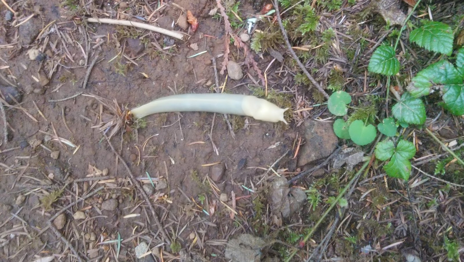
We also saw multiple fallen trees and saw many slugs along the way, be
careful not to step on them.


Once you reach Heather Park,
you will notice a change in the ecosystem.
There will be lots of flowers to see and you will notice the ground gets a
little loose in some places. Please be very careful as you do not want to slip
downhill.


Soon after, you will start seeing snow along the way. If possible, try to
go around it, if that is not an option, be extra careful as it might be hard
and slippery.


As we got close to the top,
we found multiple wilderness camping sites including this awesome construction;
I would love to spend a night here!


If you have read some of our
other trip reports, you will know by now that we absolutely love to see
wildlife along our way, today was no exception and we saw this friendly deer
that was kind enough to pose for the picture.

Once you
reach the top, you will see a slope with loose rocks in your way, be extremely careful and pay attention to your left, you
should be able to see where the trail continues between the trees. Try not to
miss it, else you will have to climb up.


From this point forward, the trail becomes a dangerous one, loose rocks, cliffs, edges, snow,
etc. the path is not always visible or obvious, pay attention and try to
identify the best and safest path for you.


Despite the fact that it was very cloudy, we did have chances of taking good pictures!


At the 6.5 mile mark, the trail was fully covered with hard
snow. We evaluated if we could walk on it but it was dangerous and we decided
not to continue with our previous choice
of completing the loop.
We always choose the safest
course of action for us, and because we
were not equipped with ice axes or proper
gear to hike on the ice, we decided to
take the known trail back to our
campground.


Keep in mind that as the evening gets closer, the
visibility and light change as well, be prepared for low visibility specially
when the path is narrow.


Tips:
Be prepared for snow, we hiked at the end of June,
and believe the snow will still be covering sections until late July.
Make sure to bring flashlights or headlamps in
case you have low visibility of for some reason you have a delay and it gets darker.
Make sure that you are comfortable with a compass, that you have a GPS and either a
printed map of the trail or a picture on your
phone. Remember to bring extra batteries!
There is no phone reception in most of the trail,
sometimes you will get a notification that your phone is roaming using a
Canadian wireless provider but do not count
exclusively on your phone for maps or GPS.
We hope you enjoy your visit.
See you next time!
x